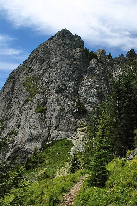
NORTH BEND, WA :: A few days before Memorial Day weekend, Seattle experienced a record-breaking heat wave with temperatures reaching 90 degrees. My mom called to brag about her new air conditioner and asked what I had done to escape the heat. I told her I hiked 14 miles to traverse the ridge between Mt. Teneriffe and Mt. Si. Of course, she freaked out, told me I was out of my mind and that I was going to die of heat stroke. I let her know I fully hydrated myself before leaving the trailhead and had carried a gallon of water with me, along with powerbars and a packet of gatorade to replenish the electrolytes I would have sweated out. Throughout the hike I was feeling great. The air was very dry and it seemed to make me lighter – it’s as if when the air temperature more closely matches my internal temperature, my body can more effortlessly flow through it. I know that doesn’t make any sense, but I felt that way. I love hiking in dry heat.
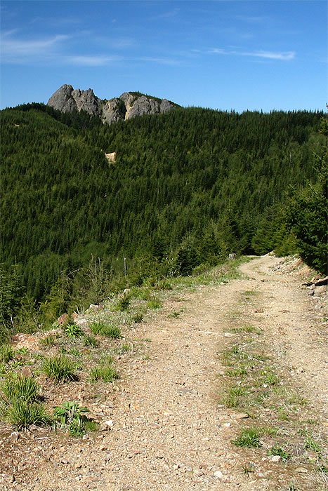
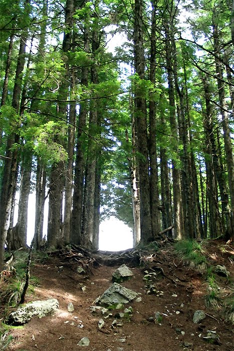
Despite it’s length, there’s not much to see on this trail except for Rainier, I-90 and the sprawl of North Bend far below. The trail to the top of Teneriffe is an old logging road that very gradually gains about 4500′. Just stay on the main road until you pass an abandoned cabin. Shortly after that, you’ll reach the saddle where you’ll see a trail going up the ridge towards the east. A faint path winds it’s way through a thick maze of trees. If you lose the trail, just head up. Stay on top of the ridge to reach the summit.
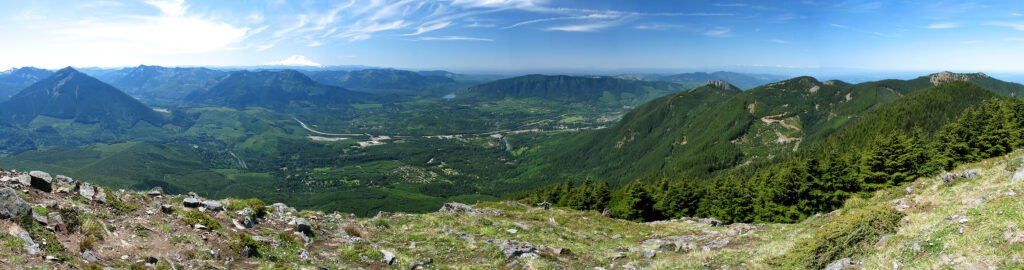
The 360 degree views from the top of Teneriffe are nice, although not very wild. To the north are endless patches of clearcut. Baker and Shuksan can be seen on the horizon. To the west is Mt. Si’s haystack, beyond which looms the Seattle skyline and the Olympics. To the south is Rainier and more of the I-90 corrider. Mailbox Peak is immediately to the east.
I parked my car at the Mt. Si parking lot and walked a mile to the Mt. Teneriffe trailhead. It took me three hours to get to the top, and about two hours to get over to Mt. Si and return to my car.
Despite it’s length, there’s not much to see on this trail except for Rainier, I-90 and the sprawl of North Bend far below. The trail to the top of Teneriffe is an old logging road that very gradually gains about 4500′. Just stay on the main road until you pass an abandoned cabin. Shortly after that, you’ll reach the saddle where you’ll see a trail going up the ridge towards the east. A faint path winds it’s way through a thick maze of trees. If you lose the trail, just head up. Stay on top of the ridge to reach the summit.
The 360 degree views from the top of Teneriffe are nice, although not very wild. To the north are endless patches of clearcut. Baker and Shuksan can be seen on the horizon. To the west is Mt. Si’s haystack, beyond which looms the Seattle skyline and the Olympics. To the south is Rainier and more of the I-90 corrider. Mailbox Peak is immediately to the east.
I parked my car at the Mt. Si parking lot and walked a mile to the Mt. Teneriffe trailhead. It took me three hours to get to the top, and about two hours to get over to Mt. Si and return to my car.