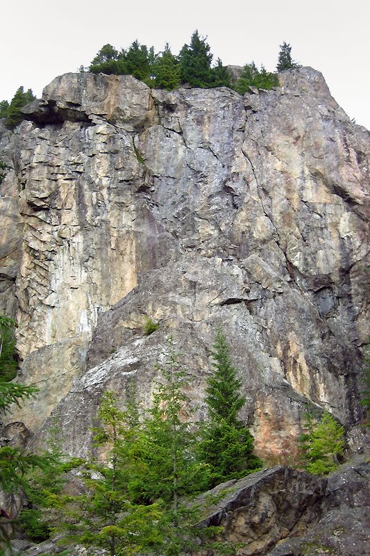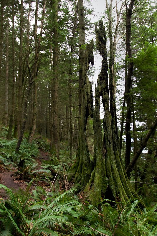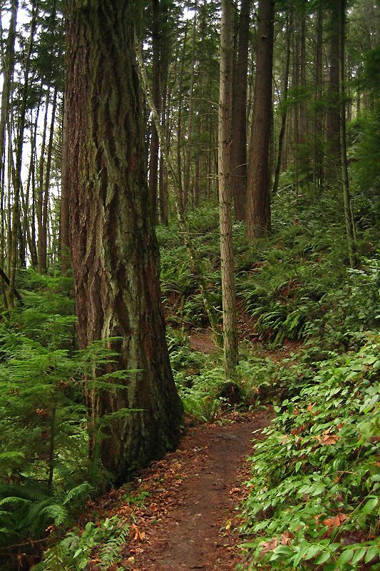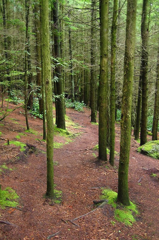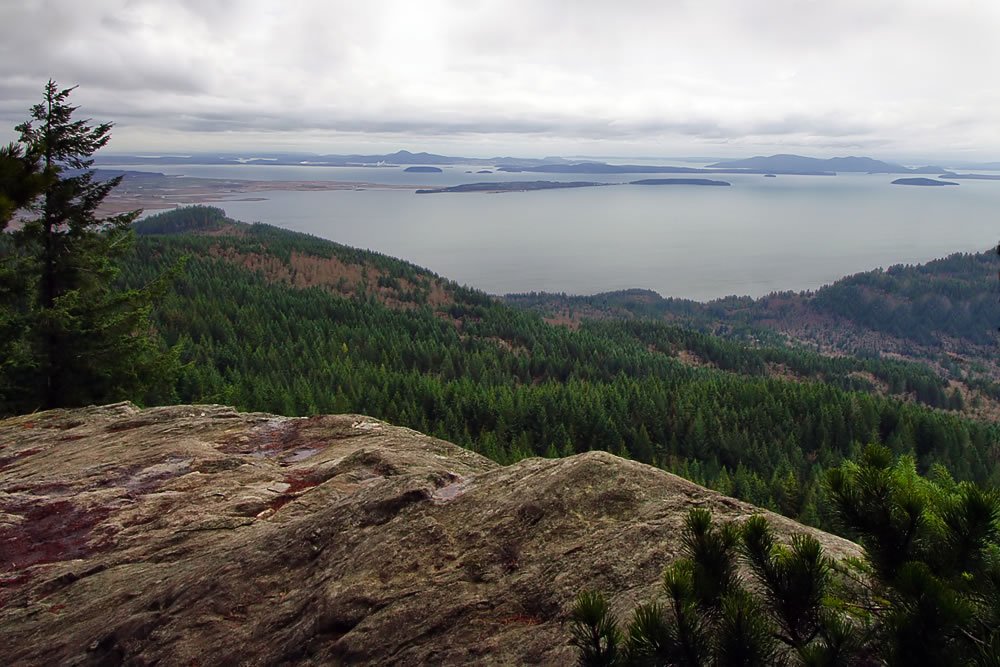

BLANCHARD MOUNTAIN, WA :: The first half of this trail was quite nice. It was dry and climbed gradually through a brilliant, green forest offering occasional views of the San Juan Islands. The second half, however, wasn’t so nice. The trail became steep and muddy. I missed a turn and wandered into the “bat caves,” a network of tunnels and caverns underneath a pile of gigantic boulders. The rocks were slick, and I didn’t want to risk falling into a dark cavern with a broken leg, so I backtracked, ready to admit defeat and return home. Then I caught sight of the main trail, heading straight up a staircase of roots and rocks alongside a cascading creek. Up I went.
A pair of hikers assured me I was on track. I asked them whether it was worth it. They said yes and that I was almost there. They also warned it was extremely cold at the top. I could hear the wind whipping through the trees now, and the sound of branches creaking and cracking.
On a nicer day, the view from Oyster Dome would be incredible. Through the cold greyness, I tried to visualize the San Juans as a verdant archipelago on the horizon, surrounded by the sparkling waters of Puget Sound reflecting a warm sun and a deep blue sky. I tried to imagine the Skagit Flats with a colorful patchwork of tulips in bloom. I tried to picture a better scene, but the wind was fierce and freezing. I had to put on some extra clothes and my gloves. Then it started to rain.
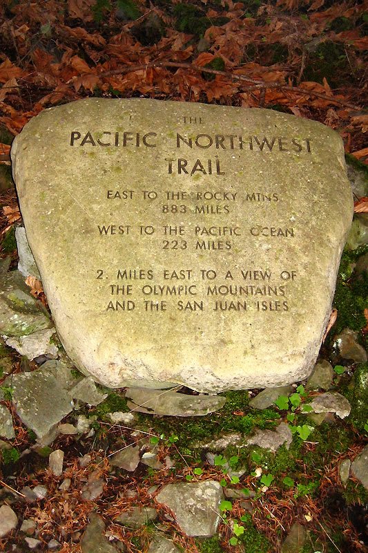
Roundtrip, this hike is reportedly six miles, although I would wager it’s closer to seven or eight. It climbs 2000′, very steeply at times. The trail is part of the Pacific Northwest Trail, a route that starts at the Continental Divide and ends on a beach on the Olympic Peninsula.
A pair of hikers assured me I was on track. I asked them whether it was worth it. They said yes and that I was almost there. They also warned it was extremely cold at the top. I could hear the wind whipping through the trees now, and the sound of branches creaking and cracking.
On a nicer day, the view from Oyster Dome would be incredible. Through the cold greyness, I tried to visualize the San Juans as a verdant archipelago on the horizon, surrounded by the sparkling waters of Puget Sound reflecting a warm sun and a deep blue sky. I tried to imagine the Skagit Flats with a colorful patchwork of tulips in bloom. I tried to picture a better scene, but the wind was fierce and freezing. I had to put on some extra clothes and my gloves. Then it started to rain.
Roundtrip, this hike is reportedly six miles, although I would wager it’s closer to seven or eight. It climbs 2000′, very steeply at times. The trail is part of the Pacific Northwest Trail, a route that starts at the Continental Divide and ends on a beach on the Olympic Peninsula.