
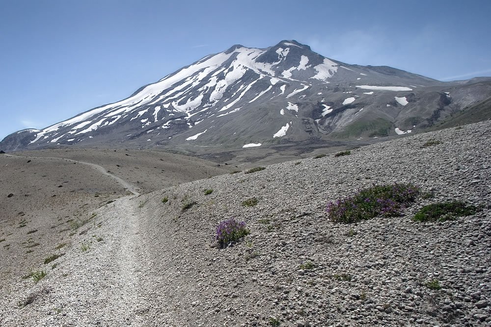

MT. ST. HELENS NATIONAL VOLCANIC MONUMENT, WA :: If you don’t mind winding, bumpy roads that border along steep cliffs, the drive to this trailhead on FR 99 is as enjoyable as the hike. I had to pass many drivers who seemed torn between gawking at the surreal, blasted surroundings and keeping their eyes on the dangerous road. There are many viewpoints along the way. Continue to the last one, Windy Ridge, where the trail begins at an unmarked gate on the south side of the parking lot.
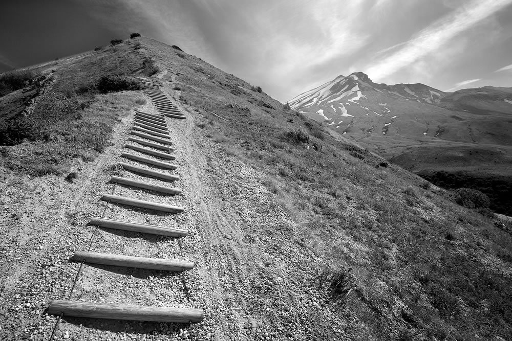
I last visited Mt. St. Helens to summit the crater rim with my friends. Today, I wanted to experience the blast zone up close via a quick loop hike. My route started on the Truman Trail and continued two miles to the Abraham Trail. On the Abraham Trail, I hiked two more miles along a narrow ridge to reach the plain and the junction with the Loowit Trail. The Loowit Trail marches straight toward the volcano and then meets up with the Windy Trail, which descends into the lahar before connecting again with the Truman Trail.
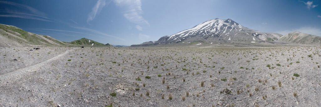
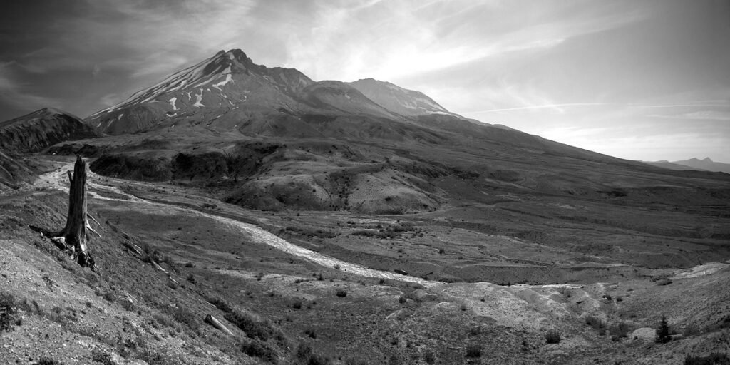
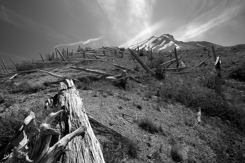
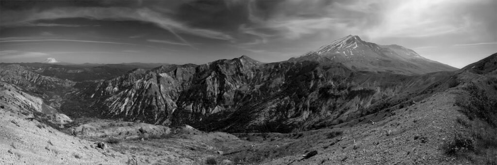
Although it’s been 27 years since the eruption, this entire area northeast of the volcano is still barren and moonlike. Small shrubs, grasses and wildflowers have taken root, but I did not see a single sapling to replace the thousands of broken trees. I suppose that will take much more time, when the soil has a chance to develop from the pumice and sand it is today.
This hike is nine miles total, climbing up and down about 1000′ in elevation, steeply at times. The trail is completely exposed, so be sure to wear sunscreen. The winds were fierce while I was on the trail, making it impossible to wear my hat, resulting in a nasty sunburn on my scalp.
I last visited Mt. St. Helens to summit the crater rim with my friends. Today, I wanted to experience the blast zone up close via a quick loop hike. My route started on the Truman Trail and continued two miles to the Abraham Trail. On the Abraham Trail, I hiked two more miles along a narrow ridge to reach the plain and the junction with the Loowit Trail. The Loowit Trail marches straight toward the volcano and then meets up with the Windy Trail, which descends into the lahar before connecting again with the Truman Trail.
Although it’s been 27 years since the eruption, this entire area northeast of the volcano is still barren and moonlike. Small shrubs, grasses and wildflowers have taken root, but I did not see a single sapling to replace the thousands of broken trees. I suppose that will take much more time, when the soil has a chance to develop from the pumice and sand it is today.
This hike is nine miles total, climbing up and down about 1000′ in elevation, steeply at times. The trail is completely exposed, so be sure to wear sunscreen. The winds were fierce while I was on the trail, making it impossible to wear my hat, resulting in a nasty sunburn on my scalp.






Looks pretty barren but fun. I’m surprised it hasn’t grown as much. Wonderful shots.